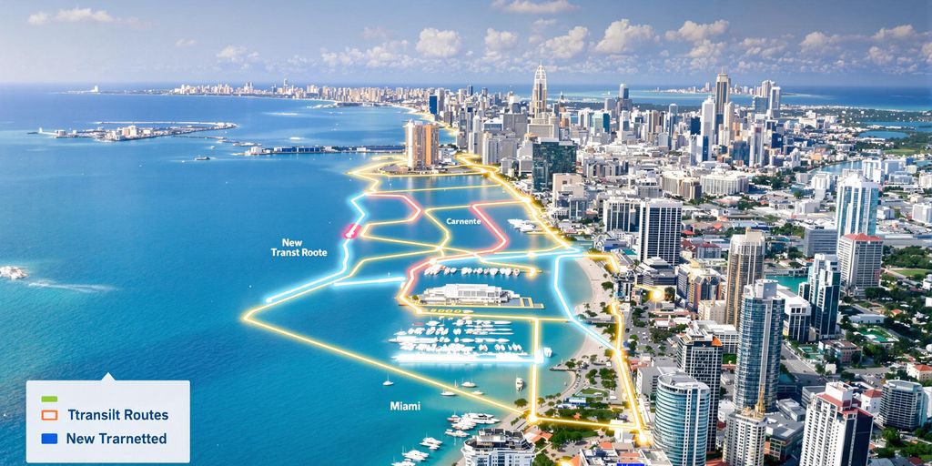
The City of Miami has unveiled a new map detailing potential development areas around transit stations, following the recent approval of a Transit Station Neighborhood District designation. This initiative aims to allow for increased zoning up to a mile from transit hubs, offering the city greater control over development compared to county-led initiatives.
Key Takeaways
- A new city map highlights areas for potential development around transit stations.
- Miami has established a Transit Station Neighborhood District, enabling increased zoning up to one mile from transit stops.
- This move is intended to give the city more control over development compared to Miami-Dade County’s Rapid Transit Zones.
- Concerns have been raised by some residents about the potential for high-rise buildings to be built next to existing single-family homes.
City’s New Zoning Initiative
The City of Miami has taken a significant step in shaping its urban landscape by approving a new designation known as the Transit Station Neighborhood District. This policy allows for enhanced zoning regulations within a one-mile radius of transit stations. The city’s objective is to reclaim some authority over development decisions, which have largely been managed by Miami-Dade County through its Rapid Transit Zones.
Resident Concerns and Future Development
While the new zoning aims to foster growth and potentially improve transit-oriented development, it has also sparked apprehension among some residents. Reports indicate that community members are worried about the potential impact of these new regulations, specifically the possibility of high-rise structures being erected in close proximity to existing one-story residential neighborhoods. The city’s map, which includes circles representing half-mile and one-mile radii from transit stations, serves as a visual guide for these potential development zones.


